An interactive, crowdsourced public art map from the Global Urban Humanities Initiative's online See-Through Maps exhibit features data and images about murals, sculptures, and informal art.
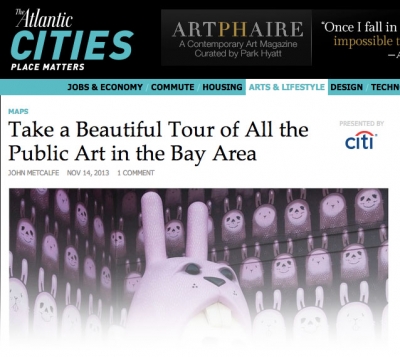
The Atlantic Cities wrote about Nancy Milholland's San Francisco Public Art Map on November 14th, 2013. Milholland's work maps art that is visible in public spaces. The map focuses on San Francisco, but also includes other Bay Area locations. John Metcalfe, a staff writer for Atlantic Cities, calls the map "beautiful" and notes that the "byte-based guide is not just easy on the eyes, but is becoming a valuable vault for the Bay Area's ephemeral public art.... [as] murals and graffiti pieces are constantly painted over or knocked down."
Other stories and blogposts about Mapping and Its Discontents, a symposium that was presented by the Global Urban Humanities Initiative on November 1, 2013 can be seen here.